At intermediate stop Customer Coslada
- For
- 37 h
- Precision
- ±25 m
- Battery
- 74%
- Last report
- 4 min ago
Expected destinationCustomer Alcobendas
History24 h7 days30 days
We start from what your team needs to know and adapt statuses, routes, alerts and reports to the way you work. Every solution is built on Naia, our asset tracking platform.
Each line is configured for your operation: your locations, your routes, your thresholds and your reports.
Last known location, arrival confirmed by geofence and a deadline for every stop.
View the solutionOff-route stops, lost signal and a light alert when the packaging may have been opened.
View the solutionTemperature kept in range for the whole journey, with an alert the moment the chain breaks.
View the solutionWhether a product or display is in the stockroom, on the shop floor or already removed.
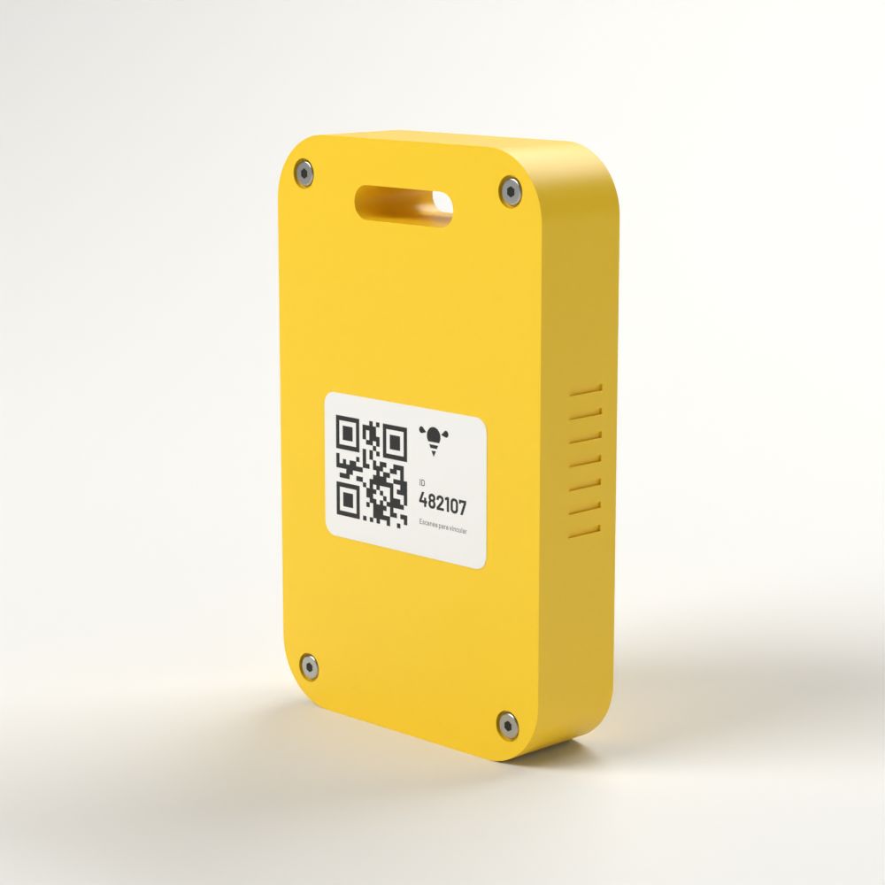
View the solutionAlongside off-the-shelf trackers, we develop our own hardware for projects that need a different form factor, other sensors or longer battery life. Every design starts from the customer’s operation and talks to the platform with no extra integration.




The Overview figures, in the same colours as the live Map. In the platform, click a figure to see its assets.
Every asset in the selection
Inside a warehouse, even if it is their destination
Between stops on their route
At a destination on their route
Stopped off their route for longer than allowed
Silent for longer than the threshold
With at least one open alert
Inside Naia, in eight views, with a demonstration company's data. Every customer receives it configured for their operation.
Seven figures (monitored, in storage, in transit, at destination, misplaced, no signal and with an incident), the inventory by location with ins and outs, and the open alerts. Tap a figure to see its assets.
Illustration: the Overview with its seven figures, the inventory by location and four open alerts.
The card shows where it is (inside which location or at which intermediate stop), since when, with what precision, its battery and its last communication. The history groups readings into stops.
Illustration: the map with the trackers as bees coloured by status, the locations as hexagons and the card for Pallet 202 in transit.
Misplaced, stopped too long, no signal or low battery, each with its threshold. They close on their own when the situation is put right, or are resolved by whoever has permission, with a reason that stays on record.
Illustration: the list of open alerts and the dialogue for resolving one with its reason.
Each project has its routes: which stop is the start, which an intermediate stop and which the destination, and how long there is to get there. That is how Naia knows what counts as an arrival and when it is running late.
Illustration: North Route with its three stops: start, intermediate stop and destination with a 24-hour deadline.
Type the address or paste the coordinates, then adjust the geofence by dragging the centre and the edge. The radius comes from the gesture; 400 metres by default.
Illustration: a geofence being drawn on the map, with the 320-metre radius filling in on its own.
Locations, trackers and routes from a CSV or by editing a table as in Excel. Naia validates the whole file and explains every row before applying anything.
Illustration: a dry run of a locations CSV with new rows, an update and an explained error.
Invite by single-use link. Users see only their projects, operators resolve their project’s alerts and administrators manage the company.
Illustration: the company’s users with their roles and a pending invitation.
The same application on phone and tablet, with nothing to install: the map with its trackers sheet and the Overview in a single column.
Illustration: Naia on a phone, with the map and the trackers sheet.
The essentials of the platform that powers every solution.
Views the Overview and the Map for the projects they have access to.
Can also resolve alerts on their projects. Assigned per project.
Manages projects, routes, locations, trackers, users and imports.
With your assets, your routes and the metrics that matter to your business, agreed from day one.